

Planning a trip to the Himalaya Mountains in Pakistan? Here’s everything you need — top peaks, best season to visit, trekking tips and local insights. I used to think Himalayas meant Nepal, full stop. Like that was just… the whole range, geographically wrapped up in one country. Turns out no. A big chunk of it, the western edge actually, sits inside Pakistan.
First — Where Are We Even Talking About
Astore District. That’s the starting point, technically, for where Pakistan’s share of the Himalaya begins. It’s part of Gilgit-Baltistan, sitting just below the Indus River. The river’s basically a line in the sand cross north of it, you’re in Karakoram country. Stay south, Himalaya. Most people don’t know this split exists. Honestly I didn’t either until I started digging.
K2 gets all the attention because, well, it’s K2. Second highest mountain on earth, everyone’s heard the name. But that’s Karakoram, not Himalaya. Different range entirely, even though they’re basically neighbors.
The Himalaya, The Karakoram and The Hindu Kush — Three Names
Gilgit-Baltistan is apparently where all three of these ranges physically meet. Like, in the same general area. No wonder people mix them up constantly.
The Karakoram = rocky, glacier-dominated, K2’s home turf.
The Hindu Kush = swings out toward Chitral, Afghanistan border zone.
The Himalaya = softer honestly. More meadows. More forest cover. Less “raw rock face,” more “green valley that suddenly turns into snow.”
You feel the difference once you’re actually standing in each one. Photos don’t quite capture it the same way.
The Three Sub-Ranges Nobody Really Breaks Down
Okay this part’s a bit technical but stay with me because it’s actually useful.
Central Himalaya sits right below the Indus. Highest point here — Nanga Parbat.
Then Lesser Himalaya, further south, running through Mansehra, Abbottabad. And here’s a thing that kind of blew my mind a little — Murree. Nathia Gali. Donga Gali. All of these “classic” tourist hill stations? Technically sitting inside this belt. People go there every summer and have zero idea they’re standing in Himalayan territory.
Last one, Sub-Himalaya or Siwalik, lowest stretch, starts near Rawalpindi. Not really a tourist zone but this is where rivers like Ravi and Sutlej actually originate. Nobody puts that on a travel brochure but it’s kind of important geographically.
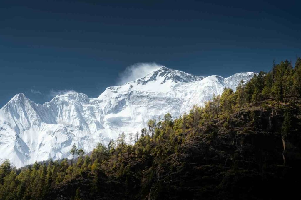
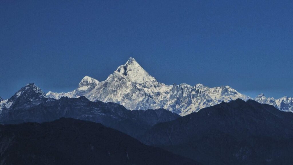
Nanga Parbat
8,126 meters. Ninth highest mountain in the entire world. Locals call it the Killer Mountain — not for drama points either, its fatality rate among climbers is genuinely rough compared to other 8000-meter peaks.
But — and this is the part people miss — you don’t need to climb it. At all. Fairy Meadows gets you close enough to just… stare at it. North face, right there. No ropes, no gear, just a trek in. It’s probably the most photographed single thing connected to this whole region and honestly, deservedly so.
Hill Stations and Valleys You Probably Already Know
Murree’s pine forests. Nathia Gali’s trails. Donga Gali being the quieter cousin nobody talks about as much. All Lesser Himalaya.
Then there’s Deosai. Completely different vibe — huge, open, practically treeless plateau. People call it Land of Giants, which sounds dramatic until you’re actually standing there and it kind of makes sense. Wildflowers take over in summer. Silence takes over the rest of the time.
Glaciers and Rivers, Briefly
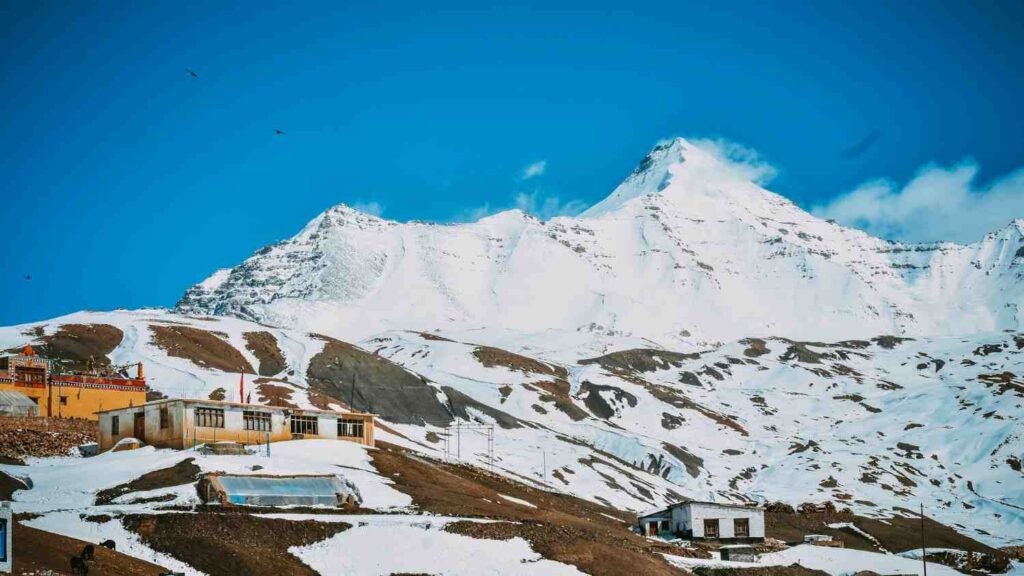
Pakistan’s got thousands of glaciers spread across Hindu Kush, Karakoram, and Himalayan zones combined more ice outside the Polar Regions than almost anywhere else on the planet, which is a wild stat when you actually sit with it. The Himalaya belt specifically feeds several river systems here, and the more remote pockets still have snow leopards, brown bears wandering around if the terrain’s wild enough.
What About the People Living There
This bit doesn’t get enough credit in most travel blogs. Isolation shaped everything — language, craft work, even food, shifting valley to valley sometimes within just a few hours of travel. There’s also been a push toward community-led tourism in Gilgit-Baltistan lately, which feels like the right direction honestly. Less “pass through, take photo, leave.” More actually engaging with who’s there.
Best Time To Go
June to September. That’s trekking season basically. Fairy Meadows, Deosai, both accessible and green during this window. Winter’s a whole different thing — heavy snow, quieter, kind of stunning in its own way if snow’s what you’re actually after instead of hiking.
Before You Pack
Altitude sickness is real past 3,000 meters, don’t rush it. Sort visa and permits before you land, not mid-trip (learned that secondhand from someone else’s travel headache, not mine, but still). And pack layers. Weather up there doesn’t care what the forecast said at breakfast.