

The most famous Peaks in Pakistan across the Karakoram, The Himalayas and The Hindu Kush, from K2 to Nanga Parbat. Someone once asked me why anyone would fly all the way to northern Pakistan when Nepal already has Everest. Fair question. My answer’s always the same though, show them one photo of Rakaposhi towering straight over the Karakoram Highway, no foothills, no warning, just there.
Here’s what most tourism sites gloss over: Pakistan isn’t simply “part of the Himalayas.” It’s actually the one spot on the map where three entirely different mountain systems physically run into each other — the Karakoram, the far western tail of the Himalayas, and the Hindu Kush. Geologists even insist on treating the Karakoram as its own separate range, not a Himalayan offshoot, though a few of its peaks do technically nudge past 7,000 metres into Himalayan or Hindu Kush territory. Throw in the fact that this stretch of the world holds over 7,000 glaciers — more than anywhere outside the poles and, well. Numbers like that are hard to picture until you’ve actually walked past a few of them.
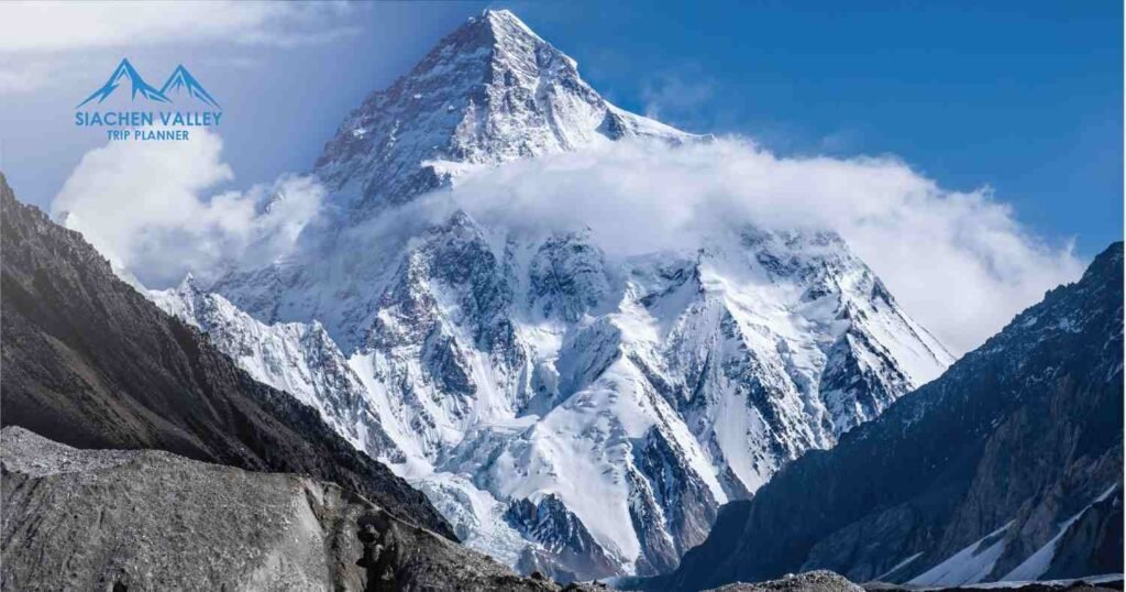
Karakoram, where K2 sits
Say “Pakistan” and “mountain” in the same breath and somebody’s bringing up K2 within thirty seconds. Locally it’s Chhogori. At 8,611 metres it’s the second-highest point on the planet, just under Everest, but climbers will tell you, almost defensively, that K2 is the harder of the two. There’s no soft route to the top. Which, honestly, is probably why so many people trek in just to stand somewhere near its base and stare, rather than attempt anything technical. I’d count myself in that group.
It doesn’t stand alone either. Four more of Pakistan’s eight-thousanders cluster near a spot called Concordia, trekkers call it the throne room of the mountain gods, half as a joke, until you’re actually there and the joke stops landing because it’s just… true.
Worth knowing before booking anything: Gasherbrum I and II, reachable on the same Baltoro trail as K2. Broad Peak, named for that unmistakably wide, flat summit ridge. Masherbrum, Distaghil Sar, and Chogolisa (also called Bride Peak — never actually got a satisfying answer for why), all scattered through the Hushe and Baltoro valleys, all well above 7,600 metres. And then Rakaposhi, which unlike basically everything else on this list doesn’t require a week-long trek. It just looms over the road near Hunza. Probably the most photographed mountain in the whole country for exactly that reason.
If someone’s only got room for one major trek in their lifetime, it’s the Baltoro Glacier route to K2 Base Camp and Concordia. Nowhere else lets you walk past four eight-thousanders on a single trip. Genuinely nowhere.
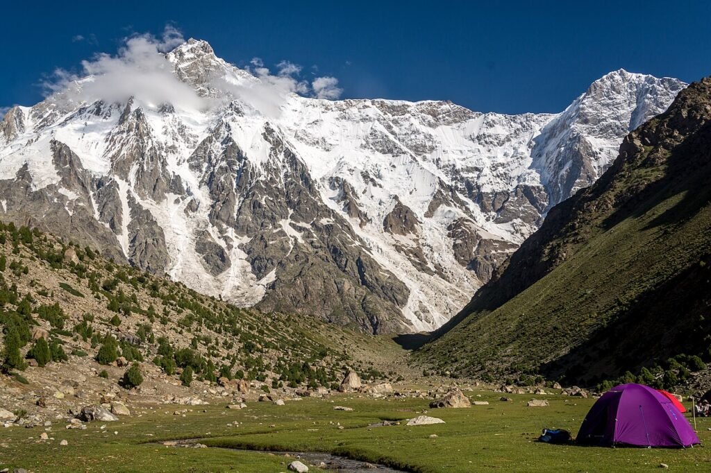
Nanga Parbat, once called the Killer Mountain
People default to thinking “Himalayas” means Nepal, but the western edge of that range runs directly through Pakistan, and its high point is Nanga Parbat 8,126 metres, ninth-highest anywhere. Early expeditions last century pinned it with that grim nickname after a run of disasters, and for a while the name fit uncomfortably well.
These days though, it’s Fairy Meadows people actually come for — a green alpine clearing right at the mountain’s base that’s probably produced more Instagram posts than any other single spot in Pakistani tourism. And it’s not even a brutal hike to reach it. A reasonably manageable trek from Raikot Bridge gets you close enough to look straight up at the Rupal Face, nearly 4,600 metres of sheer rock and ice — one of the tallest mountain walls anywhere on the planet. For something shorter, Chongra Peak and Rakhiot Peak, both part of the broader Nanga Parbat massif, work well as acclimatization walks around Astore.
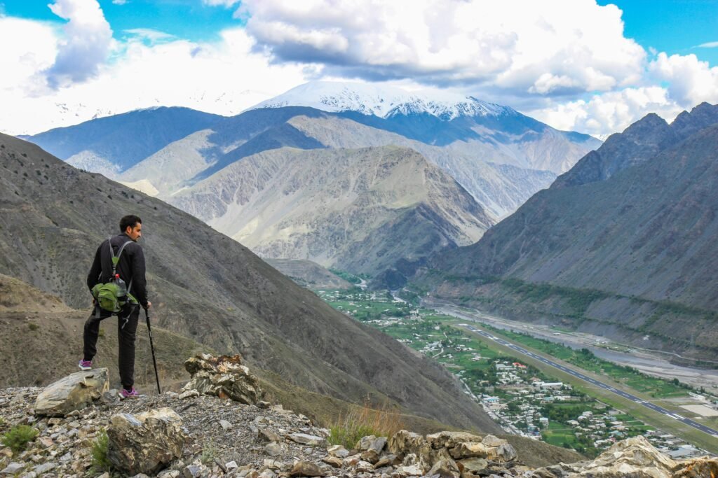
Tirich Mir and the Hindu Kush nobody really talks about
Chitral gets skipped over constantly, which I think is a mistake, honestly. The Hindu Kush here doesn’t pull Baltoro-level crowds, but it has its own quiet weight to it. Tirich Mir sits around 7,708 metres, the range’s highest point, 33rd on the world list.
Locals here have their own folklore around it too fairies on the upper slopes, that sort of thing. Believe it or not, the whole area just feels calmer than the Karakoram, and for some travelers that’s exactly the appeal. Noshaq sits nearby, technically Afghanistan’s highest peak since the border runs right through it, and Istor-o-Nal comes up often with trekkers exploring the Hindu Raj valleys.
When to actually go
Roughly June through September is your window for anything high — Concordia, Baltoro, anything past 4,000 metres — once the snow finally clears. Lower down, in Hunza, Skardu, or Chitral, April to June and then September into October tend to be gentler, and if you catch autumn right, the orchard colors are honestly worth the trip alone. Winter turns the whole region into something else entirely — stunning, no argument there, but not something to wing without proper gear and a guide who actually knows the ground.
Before you book
None of the well-known areas Skardu, Hunza, Gilgit, Chitral need special permits for regular tourists, local or international. It’s really only the zones near the Line of Control or international borders where permits become relevant, and a local operator will handle that far faster than trying to figure it out alone. One thing I’d push on, though: for glacier treks like Baltoro, hire a licensed local guide. Not just for safety that money goes straight to the Balti and Wakhi communities who’ve kept these trails running for generations.
Frequently Asked Questions
1. What’s the highest mountain peak in Pakistan?
K2, (8,611 metres) Karakoram range. Second only to Everest worldwide.
2. How many 8,000-metre peaks are there in Pakistan?
Five, mostly clustered near the Baltoro Glacier — putting Pakistan alongside Nepal and China for the most eight-thousanders on Earth.
3. Can I actually see K2 without climbing it?
Yes, and it’s what most visitors do anyway. The trek to K2 Base Camp and Concordia from Askole runs several days on foot, no climbing gear needed, just decent boots and stamina.
4. Which famous peak is easiest to spot?
Rakaposhi, easily right there from the highway. Nanga Parbat’s a close second since it only takes a short trek to reach a good view.
5. Is Fairy Meadows the same as Nanga Parbat?
No — people mix these up a lot. Fairy Meadows is the meadow campsite at the mountain’s base, the spot for that famous photo, not the summit itself.
6. Where’s Tirich Mir located, and what range is it part of?
Hindu Kush. It rises directly above the Chitral Valley in Khyber Pakhtunkhwa.
7. When’s the best time to trek toward these peaks?
June to September for anything high-altitude. Spring or autumn suits the lower valleys just fine.
8. Do tourists need permits near these mountains?
Not for the standard, popular routes. Pe